
Logan County topographic map
Interactive map
Click on the map to display elevation.
About this map
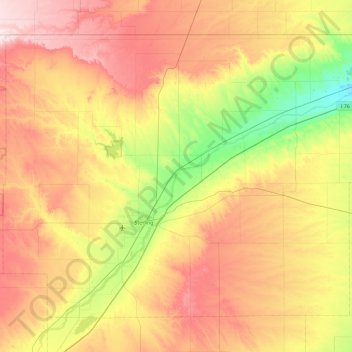
Name: Logan County topographic map, elevation, terrain.
Location: Logan County, Colorado, United States (40.43337 -103.58148 41.00212 -102.65021)
Average elevation: 1,288 m
Minimum elevation: 1,110 m
Maximum elevation: 1,510 m