
Tsetsana topographic map
Interactive map
Click on the map to display elevation.
About this map
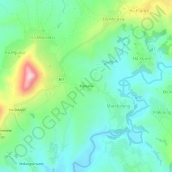
Name: Tsetsana topographic map, elevation, terrain.
Location: Tsetsana, Matebeleng, Berea District, Lesotho (-29.27535 27.83317 -29.23535 27.87317)
Average elevation: 1,811 m
Minimum elevation: 1,696 m
Maximum elevation: 2,116 m