
Machelen topographic map
Interactive map
Click on the map to display elevation.
About this map
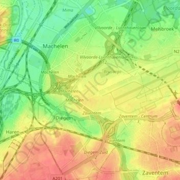
Name: Machelen topographic map, elevation, terrain.
Location: Machelen, Halle-Vilvoorde, Flemish Brabant, Flanders, Belgium (50.87854 4.41578 50.92431 4.46973)
Average elevation: 29 m
Minimum elevation: -2 m
Maximum elevation: 57 m