
Redoules topographic map
Interactive map
Click on the map to display elevation.
About this map
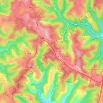
Name: Redoules topographic map, elevation, terrain.
Location: Redoules, Cahors, Lot, Occitania, Metropolitan France, France (44.52279 1.46485 44.56279 1.50485)
Average elevation: 304 m
Minimum elevation: 201 m
Maximum elevation: 375 m