
Zonnebeke topographic map
Interactive map
Click on the map to display elevation.
About this map
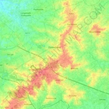
Name: Zonnebeke topographic map, elevation, terrain.
Location: Zonnebeke, Ieper, West Flanders, Flanders, 8980, Belgium (50.80013 2.93816 50.92886 3.06959)
Average elevation: 30 m
Minimum elevation: 3 m
Maximum elevation: 68 m