
L'Abbaye topographic map
Interactive map
Click on the map to display elevation.
About this map
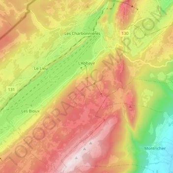
Name: L'Abbaye topographic map, elevation, terrain.
Location: L'Abbaye, District du Jura-Nord vaudois, Vaud, Switzerland (46.58596 6.25097 46.68526 6.35055)
Average elevation: 1,171 m
Minimum elevation: 674 m
Maximum elevation: 1,676 m