
Aghalislone topographic map
Interactive map
Click on the map to display elevation.
About this map
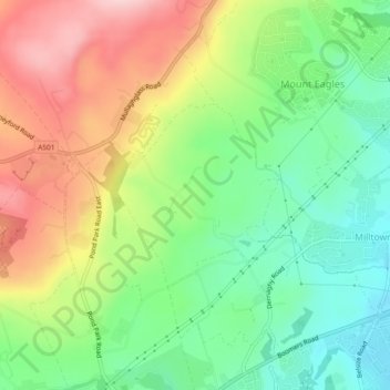
Name: Aghalislone topographic map, elevation, terrain.
Average elevation: 139 m
Minimum elevation: 46 m
Maximum elevation: 264 m
Other topographic maps
Click on a map to view its topography, its elevation and its terrain.
Black Mountain
United Kingdom > Northern Ireland > Lisburn
Black Mountain, Lisburn, County Antrim, Northern Ireland, BT11 8BU, United Kingdom
Average elevation: 232 m