
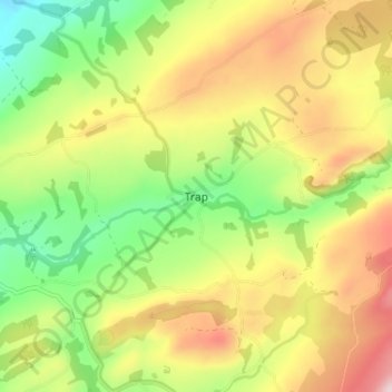
Trap topographic map
Interactive map
Click on the map to display elevation.
About this map
Name: Trap topographic map, elevation, terrain.
Location: Trap, Carmarthenshire, Wales, SA19 6TW, United Kingdom (51.83302 -3.97708 51.87302 -3.93708)
Average elevation: 185 m
Minimum elevation: 39 m
Maximum elevation: 354 m