
Lunner topographic map
Interactive map
Click on the map to display elevation.
About this map
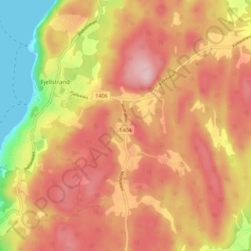
Name: Lunner topographic map, elevation, terrain.
Location: Lunner, Nesodden, Akershus, 1458, Norway (59.77086 10.61767 59.81086 10.65767)
Average elevation: 126 m
Minimum elevation: -6 m
Maximum elevation: 207 m