
Pasir Panjang topographic map
Interactive map
Click on the map to display elevation.
About this map
Name: Pasir Panjang topographic map, elevation, terrain.
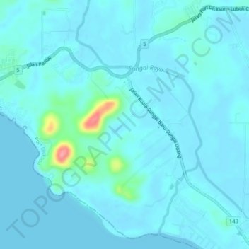
Location: Pasir Panjang, Negeri Sembilan, 71250, Malaysia (2.40073 101.93597 2.44073 101.97597)
Average elevation: 9 m
Minimum elevation: -1 m
Maximum elevation: 98 m