
Sainte-Suzanne topographic map
Interactive map
Click on the map to display elevation.
About this map
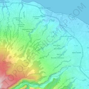
Name: Sainte-Suzanne topographic map, elevation, terrain.
Location: Sainte-Suzanne, Saint-Denis, Réunion, 97441, France (-21.00659 55.54056 -20.89451 55.64642)
Average elevation: 270 m
Minimum elevation: 0 m
Maximum elevation: 1,321 m