
Shibetsu topographic map
Interactive map
Click on the map to display elevation.
About this map
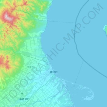
Name: Shibetsu topographic map, elevation, terrain.
Average elevation: 105 m
Minimum elevation: -3 m
Maximum elevation: 1,388 m
Other topographic maps
Click on a map to view its topography, its elevation and its terrain.
Ebetsu
Ebetsu, Ishikari Subprefecture, Hokkaidō Prefecture, Hokkaidō Region, Japan
Average elevation: 14 m