
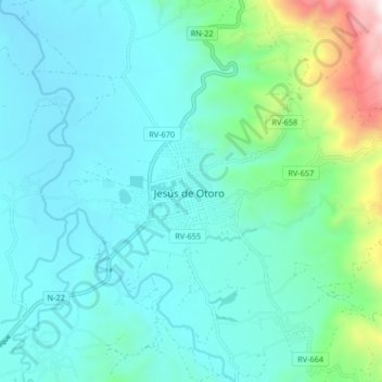
Jesús de Otoro topographic map
Interactive map
Click on the map to display elevation.
About this map
Name: Jesús de Otoro topographic map, elevation, terrain.
Location: Jesús de Otoro, Intibucá, Honduras (14.44472 -88.02179 14.52472 -87.94179)
Average elevation: 739 m
Minimum elevation: 535 m
Maximum elevation: 1,713 m