
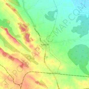
Vueltas topographic map
Interactive map
Click on the map to display elevation.
About this map
Name: Vueltas topographic map, elevation, terrain.
Location: Vueltas, Camajuaní, Villa Clara, Cuba (22.47624 -79.74131 22.55624 -79.66131)
Average elevation: 65 m
Minimum elevation: 17 m
Maximum elevation: 137 m