
Angeles topographic map
Interactive map
Click on the map to display elevation.
About this map
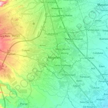
Name: Angeles topographic map, elevation, terrain.
Location: Angeles, Pampanga, Central Luzon, Philippines (15.10983 120.47809 15.17927 120.63715)
Average elevation: 98 m
Minimum elevation: 21 m
Maximum elevation: 309 m
Other topographic maps
Click on a map to view its topography, its elevation and its terrain.