
arrondissement de Tanger-Medina طنجة المدينة topographic map
Interactive map
Click on the map to display elevation.
About this map
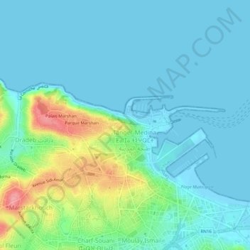
Name: arrondissement de Tanger-Medina طنجة المدينة topographic map, elevation, terrain.
Average elevation: 20 m
Minimum elevation: -2 m
Maximum elevation: 101 m