
Wincrange topographic map
Interactive map
Click on the map to display elevation.
About this map
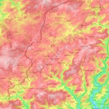
Name: Wincrange topographic map, elevation, terrain.
Location: Wincrange, Canton Clervaux, Luxembourg (49.98700 5.81899 50.13055 6.03177)
Average elevation: 459 m
Minimum elevation: 299 m
Maximum elevation: 540 m