
Lahul and Spiti topographic map
Interactive map
Click on the map to display elevation.
About this map
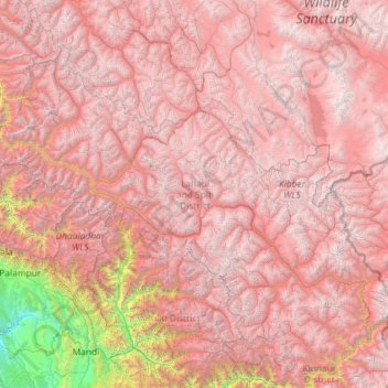
Name: Lahul and Spiti topographic map, elevation, terrain.
Location: Lahul and Spiti, Himachal Pradesh, India (31.75233 76.37130 33.25567 78.69266)
Average elevation: 4,286 m
Minimum elevation: 519 m
Maximum elevation: 6,643 m
The two valleys are quite different in character. Spiti is more barren and difficult to cross, with an average elevation of the valley floor of 4,270 m (14,010 ft). It is enclosed between lofty ranges, with the Spiti river rushing out of a gorge in the southeast to meet the Sutlej River. It is a typical mountain desert area with an average annual rainfall of only 170 mm (6.7 in). The district has close cultural links with Ngari Prefecture of Tibet Autonomous Region.
Other topographic maps
Click on a map to view its topography, its elevation and its terrain.
Tosa
India > Himachal Pradesh > Chamba
Tosa, Chamba, Chamba District, Himachal Pradesh, 176319, India
Average elevation: 1,674 m
Kullu
India > Himachal Pradesh > Kullu
Kullu, Himachal Pradesh, 175100, India
Average elevation: 1,808 m