
White River topographic map
Interactive map
Click on the map to display elevation.
About this map
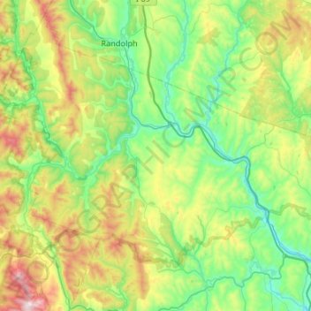
Name: White River topographic map, elevation, terrain.
Location: White River, Windsor County, Vermont, United States (43.64838 -72.84004 43.92671 -72.31378)
Average elevation: 419 m
Minimum elevation: 103 m
Maximum elevation: 1,263 m