
Pongola Bush Nature Reserve topographic map
Interactive map
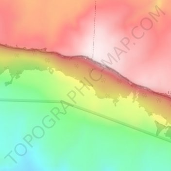
Click on the map to display elevation.
About this map
Name: Pongola Bush Nature Reserve topographic map, elevation, terrain.
Average elevation: 1,528 m
Minimum elevation: 1,234 m
Maximum elevation: 1,782 m
Other topographic maps
Click on a map to view its topography, its elevation and its terrain.
Bivane
RSA > KwaZulu-Natal > eDumbe Local Municipality
Bivane, eDumbe Local Municipality, Zululand District Municipality, KwaZulu-Natal, RSA
Average elevation: 795 m