
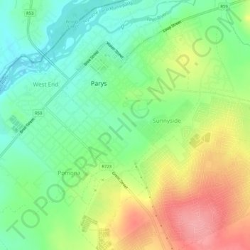
Ngwathe Ward 13 topographic map
Interactive map
Click on the map to display elevation.
About this map
Name: Ngwathe Ward 13 topographic map, elevation, terrain.
Average elevation: 1,407 m
Minimum elevation: 1,366 m
Maximum elevation: 1,467 m
Other topographic maps
Click on a map to view its topography, its elevation and its terrain.
Ngwathe Ward 18
RSA > Free State > Ngwathe Local Municipality
Ngwathe Ward 18, Ngwathe Local Municipality, Fezile Dabi District Municipality, Free State, RSA
Average elevation: 1,443 m