
Willem Pretorius Wildtuin topographic map
Interactive map
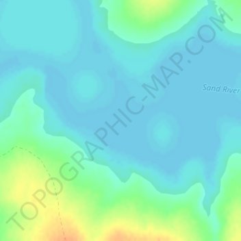
Click on the map to display elevation.
About this map
Name: Willem Pretorius Wildtuin topographic map, elevation, terrain.
Average elevation: 1,371 m
Minimum elevation: 1,363 m
Maximum elevation: 1,398 m
Other topographic maps
Click on a map to view its topography, its elevation and its terrain.
Setsoto Ward 11
RSA > Free State > Setsoto Local Municipality
Setsoto Ward 11, Setsoto Local Municipality, Thabo Mofutsanyana District Municipality, Free State, RSA
Average elevation: 1,574 m