
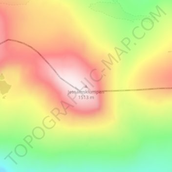
Jetnamsklumpen topographic map
Interactive map
Click on the map to display elevation.
About this map
Name: Jetnamsklumpen topographic map, elevation, terrain.
Location: Jetnamsklumpen, Hattfjelldal, Nordland, Norway (65.13189 14.19328 65.13199 14.19338)
Average elevation: 1,198 m
Minimum elevation: 873 m
Maximum elevation: 1,521 m
Other topographic maps
Click on a map to view its topography, its elevation and its terrain.