
Oudenhoorn topographic map
Interactive map
Click on the map to display elevation.
About this map
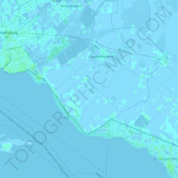
Name: Oudenhoorn topographic map, elevation, terrain.
Location: Oudenhoorn, Hellevoetsluis, South Holland, Netherlands (51.79111 4.15028 51.84351 4.22227)
Average elevation: 0 m
Minimum elevation: -4 m
Maximum elevation: 6 m