
Vratsa topographic map
Interactive map
Click on the map to display elevation.
About this map
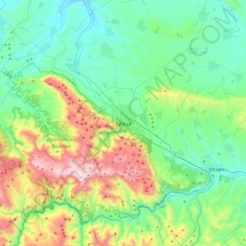
Name: Vratsa topographic map, elevation, terrain.
Location: Vratsa, 3002, Bulgaria (43.04282 23.38803 43.36282 23.70803)
Average elevation: 483 m
Minimum elevation: 141 m
Maximum elevation: 1,471 m