
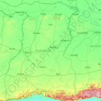
จังหวัดสุรินทร์ topographic map
Interactive map
Click on the map to display elevation.
About this map
Name: จังหวัดสุรินทร์ topographic map, elevation, terrain.
Location: จังหวัดสุรินทร์, Thailand (14.33023 103.08960 15.48285 104.08852)
Average elevation: 162 m
Minimum elevation: 66 m
Maximum elevation: 661 m