
Sand Bay topographic map
Interactive map
Click on the map to display elevation.
About this map
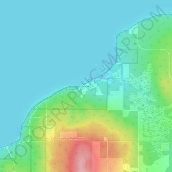
Name: Sand Bay topographic map, elevation, terrain.
Location: Sand Bay, Town of Russell, Bayfield County, Wisconsin, USA (46.92586 -90.91093 46.96586 -90.87093)
Average elevation: 209 m
Minimum elevation: 176 m
Maximum elevation: 317 m