
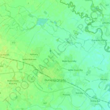
Dunajská Streda topographic map
Interactive map
Click on the map to display elevation.
About this map
Name: Dunajská Streda topographic map, elevation, terrain.
Average elevation: 115 m
Minimum elevation: 109 m
Maximum elevation: 122 m
Other topographic maps
Click on a map to view its topography, its elevation and its terrain.
Dunajská Streda
Slovakia > Region of Trnava > District of Dunajská Streda > Dunajská Streda
Dunajská Streda, District of Dunajská Streda, Region of Trnava, Western Slovakia, 929 01, Slovakia
Average elevation: 115 m