
Captain Cook topographic map
Interactive map
Click on the map to display elevation.
About this map
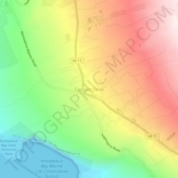
Name: Captain Cook topographic map, elevation, terrain.
Location: Captain Cook, Hawaiʻi County, Hawaii, 96750, United States (19.47443 -155.93728 19.51443 -155.89728)
Average elevation: 369 m
Minimum elevation: 0 m
Maximum elevation: 774 m