
Tam Đường District topographic map
Interactive map
Click on the map to display elevation.
About this map
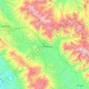
Name: Tam Đường District topographic map, elevation, terrain.
Location: Tam Đường District, Lai Châu Province, Vietnam (22.16808 103.41743 22.49185 103.78185)
Average elevation: 1,317 m
Minimum elevation: 184 m
Maximum elevation: 3,094 m