
Great Sankey topographic map
Interactive map
Click on the map to display elevation.
About this map
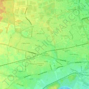
Name: Great Sankey topographic map, elevation, terrain.
Average elevation: 16 m
Minimum elevation: 0 m
Maximum elevation: 29 m
Other topographic maps
Click on a map to view its topography, its elevation and its terrain.
Burtonwood
United Kingdom > England > Burtonwood
Burtonwood, Warrington, North West England, England, WA5 4QD, United Kingdom
Average elevation: 26 m