
Hawston topographic map
Interactive map
Click on the map to display elevation.
About this map
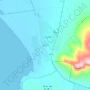
Name: Hawston topographic map, elevation, terrain.
Location: Hawston, Overberg District Municipality, Western Cape, RSA (-34.40861 19.11167 -34.36861 19.15167)
Average elevation: 59 m
Minimum elevation: 0 m
Maximum elevation: 462 m