
Eenriet topographic map
Interactive map
Click on the map to display elevation.
About this map
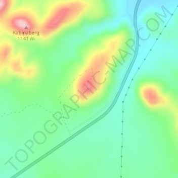
Name: Eenriet topographic map, elevation, terrain.
Average elevation: 1,010 m
Minimum elevation: 939 m
Maximum elevation: 1,154 m
Other topographic maps
Click on a map to view its topography, its elevation and its terrain.
Nama Khoi Local Municipality
RSA > Northern Cape > Nama Khoi Local Municipality
Nama Khoi Local Municipality, Namakwa District Municipality, Northern Cape, 8240, RSA
Average elevation: 703 m
Kouberg
RSA > Northern Cape > Nama Khoi Local Municipality
Kouberg, Nama Khoi Local Municipality, Namakwa District Municipality, Northern Cape, RSA
Average elevation: 1,014 m