
Vaama topographic map
Interactive map
Click on the map to display elevation.
About this map
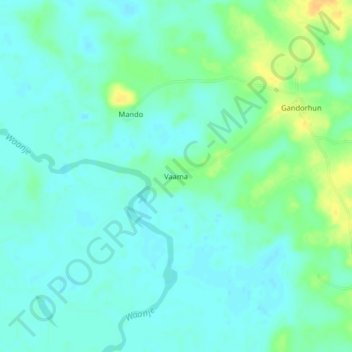
Name: Vaama topographic map, elevation, terrain.
Location: Vaama, Pujehun District, Southern Province, Sierra Leone (7.25847 -11.81752 7.29847 -11.77752)
Average elevation: 9 m
Minimum elevation: 1 m
Maximum elevation: 28 m