
Lot topographic map
Interactive map
Click on the map to display elevation.
About this map
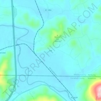
Name: Lot topographic map, elevation, terrain.
Location: Lot, Whitley County, Kentucky, 37762, United States (36.58091 -84.10771 36.62091 -84.06771)
Average elevation: 319 m
Minimum elevation: 283 m
Maximum elevation: 565 m