
Madad topographic map
Interactive map
Click on the map to display elevation.
About this map
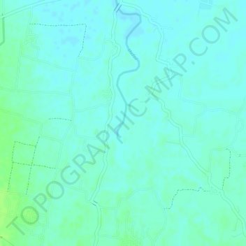
Name: Madad topographic map, elevation, terrain.
Location: Madad, Rafiganj, Aurangabad District, Bihar, 824122, India (24.78065 84.53665 24.78499 84.53771)
Average elevation: 98 m
Minimum elevation: 93 m
Maximum elevation: 104 m