
Brackenhurst Park topographic map
Interactive map
Click on the map to display elevation.
About this map
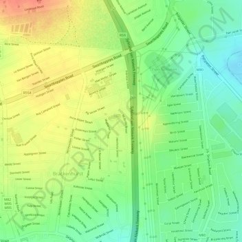
Name: Brackenhurst Park topographic map, elevation, terrain.
Average elevation: 1,585 m
Minimum elevation: 1,559 m
Maximum elevation: 1,610 m
Other topographic maps
Click on a map to view its topography, its elevation and its terrain.
Jackson Dam Park
South Africa > Gauteng > City of Ekurhuleni Metropolitan Municipality > Alberton
Jackson Dam Park, 81, Brackenhurst, Ekurhuleni Ward 38, Alberton, City of Ekurhuleni Metropolitan Municipality, Gauteng, 1448, South Africa
Average elevation: 1,594 m