
Saron topographic map
Interactive map
Click on the map to display elevation.
About this map
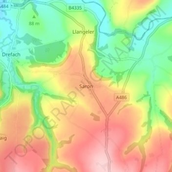
Name: Saron topographic map, elevation, terrain.
Location: Saron, Carmarthenshire, Wales, SA44 5DS, United Kingdom (51.99596 -4.39090 52.03596 -4.35090)
Average elevation: 119 m
Minimum elevation: 33 m
Maximum elevation: 213 m