
Euphrates topographic map
Interactive map
Click on the map to display elevation.
About this map
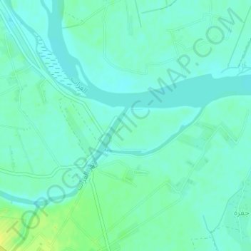
Name: Euphrates topographic map, elevation, terrain.
Average elevation: 201 m
Minimum elevation: 195 m
Maximum elevation: 213 m
Other topographic maps
Click on a map to view its topography, its elevation and its terrain.
Deir Ez Zor
Syria > Deir Ezzor Governorate > Deir Ez Zor
Deir Ez Zor, Deir Ez-Zor Subdistrict, Deir Ez-Zor District, Deir Ezzor Governorate, Syria
Average elevation: 243 m