
Norički vrh topographic map
Interactive map
Click on the map to display elevation.
About this map
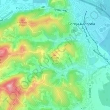
Name: Norički vrh topographic map, elevation, terrain.
Location: Norički vrh, Gornja Radgona, 9250, Slovenia (46.66918 15.98183 46.66928 15.98193)
Average elevation: 248 m
Minimum elevation: 202 m
Maximum elevation: 337 m