
Mortimer topographic map
Interactive map
Click on the map to display elevation.
About this map
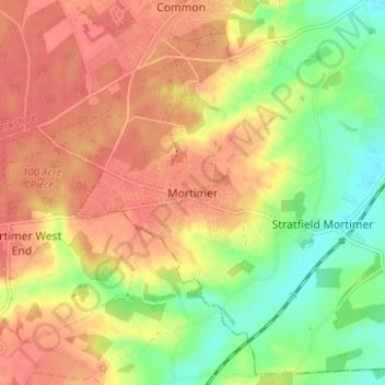
Name: Mortimer topographic map, elevation, terrain.
Average elevation: 80 m
Minimum elevation: 48 m
Maximum elevation: 102 m
Other topographic maps
Click on a map to view its topography, its elevation and its terrain.
Peasemore
United Kingdom > England > West Berkshire
Peasemore, West Berkshire, England, United Kingdom
Average elevation: 155 m