
San Cristóbal topographic map
Interactive map
Click on the map to display elevation.
About this map
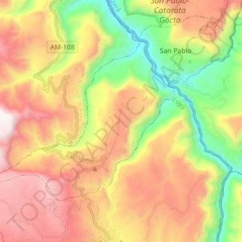
Name: San Cristóbal topographic map, elevation, terrain.
Location: San Cristóbal, Province of Luya, Amazonas, Peru (-6.11784 -78.04144 -6.03777 -77.91984)
Average elevation: 2,283 m
Minimum elevation: 1,377 m
Maximum elevation: 3,260 m