
Thank you for supporting this site ❤️
Make a donation
Make a donation
Oconomowoc topographic map
Click on the map to display elevation.
Thank you for supporting this site ❤️
Make a donation
Make a donation
About this map
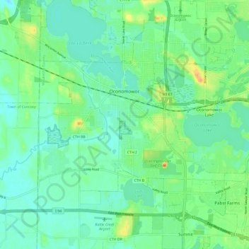
Name: Oconomowoc topographic map, elevation, terrain.
Location: Oconomowoc, Waukesha County, Wisconsin, 53066, United States (43.05724 -88.54017 43.14298 -88.44608)
Average elevation: 267 m
Minimum elevation: 254 m
Maximum elevation: 301 m
Thank you for supporting this site ❤️
Make a donation
Make a donation