
Nansemond River topographic map
Interactive map
Click on the map to display elevation.
About this map
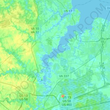
Name: Nansemond River topographic map, elevation, terrain.
Location: Nansemond River, Suffolk, Virginia, 23434, USA (36.73912 -76.58883 36.93684 -76.43771)
Average elevation: 9 m
Minimum elevation: -3 m
Maximum elevation: 48 m
Other topographic maps
Click on a map to view its topography, its elevation and its terrain.
Great Dismal Swamp
Great Dismal Swamp, West Ditch Trail, Suffolk, Virginia, USA
Average elevation: 11 m