
Aurillac topographic map
Interactive map
Click on the map to display elevation.
About this map
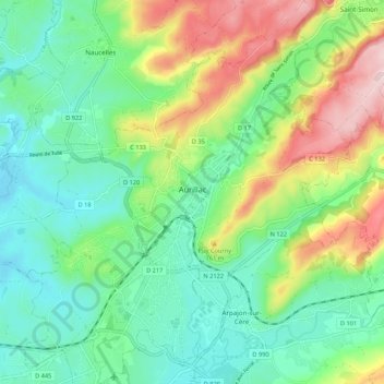
Name: Aurillac topographic map, elevation, terrain.
Average elevation: 668 m
Minimum elevation: 569 m
Maximum elevation: 876 m
Other topographic maps
Click on a map to view its topography, its elevation and its terrain.
Mandailles-Saint-Julien
Francia > Auvergne-Rhône-Alpes > Cantal
Mandailles-Saint-Julien, Aurillac, Cantal, Auvergne-Rhône-Alpes, Francia metropolitana, 15590, Francia
Average elevation: 1,243 m