
Vahangaon topographic map
Interactive map
Click on the map to display elevation.
About this map
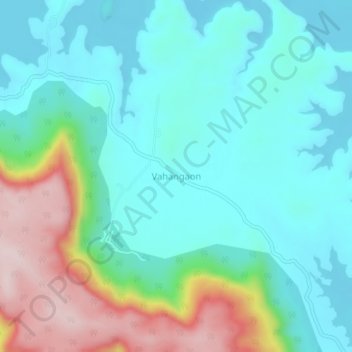
Name: Vahangaon topographic map, elevation, terrain.
Location: Vahangaon, Mawal, Pune District, Maharashtra, India (18.86034 73.50127 18.90034 73.54127)
Average elevation: 746 m
Minimum elevation: 653 m
Maximum elevation: 1,007 m