
Githunguri topographic map
Interactive map
Click on the map to display elevation.
About this map
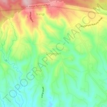
Name: Githunguri topographic map, elevation, terrain.
Location: Githunguri, Embu County, East Kenya, Kenya (-0.38660 37.46330 -0.34660 37.50330)
Average elevation: 1,863 m
Minimum elevation: 1,760 m
Maximum elevation: 2,018 m