
Quisapincha topographic map
Interactive map
Click on the map to display elevation.
About this map
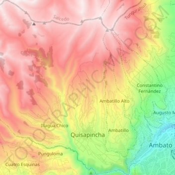
Name: Quisapincha topographic map, elevation, terrain.
Location: Quisapincha, Ambato, Tungurahua, Ecuador (-1.26499 -78.78253 -1.13240 -78.65199)
Average elevation: 3,413 m
Minimum elevation: 2,481 m
Maximum elevation: 4,179 m