
Tlokoeng topographic map
Click on the map to display elevation.
About this map
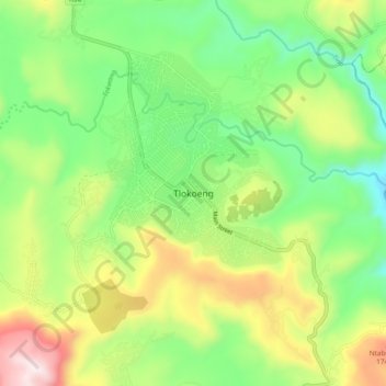
Name: Tlokoeng topographic map, elevation, terrain.
Average elevation: 1,480 m
Minimum elevation: 1,192 m
Maximum elevation: 1,962 m
Other topographic maps
Click on a map to view its topography, its elevation and its terrain.
Elundini Ward 17
South Africa > Eastern Cape > Joe Gqabi District Municipality > Elundini Local Municipality
Average elevation: 1,318 m