
Thank you for supporting this site ❤️
Make a donation
Make a donation
364 topographic map
Click on the map to display elevation.
Thank you for supporting this site ❤️
Make a donation
Make a donation
About this map
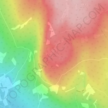
Name: 364 topographic map, elevation, terrain.
Location: 364, Elverum, Innlandet, 2409, Norway (60.92903 11.57470 60.92913 11.57480)
Average elevation: 306 m
Minimum elevation: 199 m
Maximum elevation: 386 m
Thank you for supporting this site ❤️
Make a donation
Make a donation